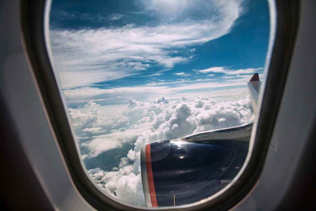
MyFlight Forecast™ gives you, the passenger, and access to Flying Weather Forecast data that pilots will review prior to every flight. While a pilot will review much more data, data that they've spent years learning to interpret, this site breaks down the most relevant data for the passenger to determine flight conditions, potential flight and airport delays, and most importantly, flight turbulence forecast.
 RADAR
RADAR
Reference Weather Radar to determine the location of precipitation (Snow, Rain) and where it is located relative to your flight path. Pilot Tip - Just because you see areas of precipitation, does not mean that you will necesarily be flying through it! You might be miles above it!
>>read more SATELLITE
Reference the Satellite page to locate clouds, or areas of decreased visibility. While clouds can generally increase the likelihood of turbulence while flying through them, keep in mind, clouds are just moisture, or water. Water is generally not that scary. Not all clouds that appear on the satellite imagery can guarantee areas of turbulence, it greatly depends on the stability of the atmosphere.
>>read more TURBULENCE
Get your Flying Weather Forecast before and during your flight - receive real time turbulence reports and discover where turbulence has been reported by aircraft currently in-flight
>>read more GROUND CONDITIONS
Type in the three letter identifier (ex. JFK, LAX, ORD) of the airports that you are travelling to and from, and get real time information on any potential airport delays due to; Wind, Visibility, Weather or delays due to volume.
>>read more